
About this adventure
What awaits you on this route?
Seafront Walk: From Fenerbahçe to Suadiye: discover the stops around İstanbul. Preview the route, then check in along the way in the Vidici app.
Stops on this adventure
Route stops
- 01
 Nature
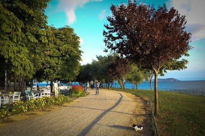
Walk Under the Plane Trees at the Headland
Start at the headland entrance of Kalamış–Fenerbahçe Park and begin this uninterrupted coastal route with the Marmara Sea on your right. Fenerbahçe Headland stretches into the sea, and some of the city’s oldest trees stand here. The park curves along the shoreline, with open water on one side and the marina on the other, setting the tone for a walk where the route itself is the main event.
Kalamış-Fenerbahçe Parkı headland entrance, Istanbul, Turkey - 02
 History
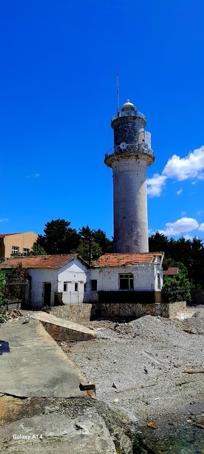
Read the Headland’s Name from the Lighthouse
Continue to Fenerbahçe Lighthouse and connect the place to its history. Sultan Suleiman the Magnificent ordered a lighthouse to be built here in 1562 because ships struggled to find their way at night. By the end of the 16th century, the site was known as 'Bağçe-i fener,' and the headland took its name from it. The current 21-meter cylindrical tower was rebuilt in 1837 during the reign of Mahmud II.
Fenerbahçe Feneri, Istanbul, Turkey - 03
 Local
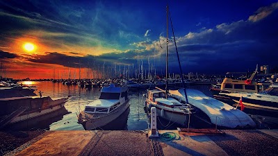
Count the Sails in the Bay
At Kalamış Bay and marina, focus on Istanbul’s sailing life. This bay is one of the city’s sailing centers, with masts lined up at the piers, pennants showing wind direction, and ramps leading down to the water. Because the bay’s enclosed shape breaks the wind, it serves both as a starting point and as a shelter.
Kalamış Marina waterfront promenade, Istanbul, Turkey - 04
 Photography
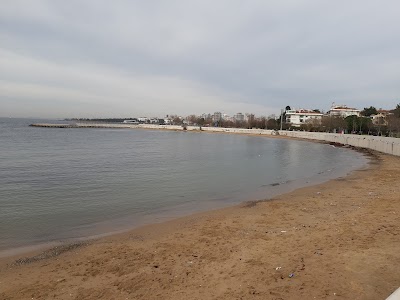
Notice Where the Route Changes Character
At Dalyan Bay by the Caddebostan beach entrance, the route opens up after the marina and the walkway begins to cling directly to the sea for the first time. This small bay marks a clear shift in the character of the walk: the crowd of boats falls behind, and ahead lies a continuous coastal park. From here on, the route is flat and open.
Dalyan Koyu walkway by Caddebostan Plajı entrance, Istanbul, Turkey - 05Local
Separate the Two Lanes of the Coast Road
In Caddebostan coastal park, experience the most organized section of the route. The walking and cycling lanes are separate, with benches and outdoor exercise equipment lined up between them. Morning runners and evening walkers use the same asphalt at different times, and here the shoreline feels like it has been set apart from the city by a long band of open space.
Caddebostan Sahil Parkı entrance, Istanbul, Turkey - 06
 Photography
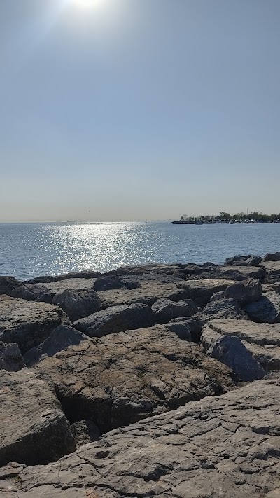
Find Where the Shore Becomes Quiet
Finish along the Suadiye seafront, where the shoreline narrows and the crowds begin to thin out. The walking path comes even closer to the water, and the benches face the open sea, making this the quietest part of the route. The Princes’ Islands sit ahead, while the full stretch of coast you have walked remains behind you.
Suadiye sahil yürüyüş yolu, Istanbul, Turkey
Check opening hours before you go. Hours, access conditions and weather can change.
Ready for this adventure?
Choose a date in Vidici, check in at the stops and earn XP as you explore. Remember your adventure with your own photos.